
Climate Disinformation and the Alps
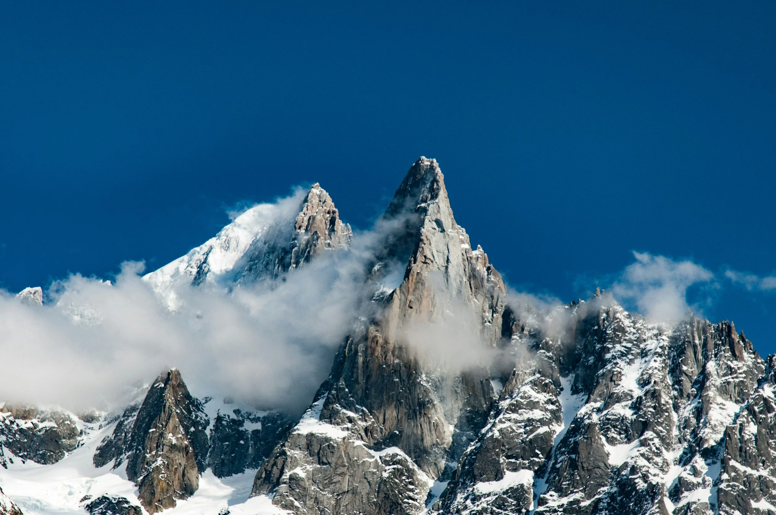
Despite extensive availability of scientific evidence documenting the impacts of climate change, misinformation and disinformation continue to shape public discourse in the Alpine region. Scientific research, including satellite-based Earth observation, long-term field measurements, and climate modeling, documents rapid environmental transformations in the Alps, such as glacier retreat, thawing permafrost, shifting species ranges, and altered seasonal cycles. These changes affect Alpine ecosystems and biodiversity as well as key human activities, including agriculture, tourism, and water management, thereby raising significant challenges for the long-term sustainability of mountain environments and the communities that depend on them.
Climate change raises not only environmental and scientific questions, but also social and communicational challenges related to how climate knowledge is produced, interpreted, and contested. The accelerating environmental transformations are accompanied by a complex set of social phenomena, among which misinformation and disinformation play a central role. While scientific research overwhelmingly confirms both the existence and the human causes of climate change, contradictory, misleading, and sometimes openly denialist narratives continue to circulate globally. These antinomic discourses, ranging from the minimization of climate impacts to the outright rejection of scientific evidence, create fragmented and contested interpretations of climate change. As a result, public opinion becomes polarized and increasingly vulnerable to manipulation, making collective understanding and effective action more difficult to achieve.
Evidence-based information plays a central role in shaping public understanding of climate change. Journalistic work is increasingly challenged by the proliferation of alternative narratives, conspiracy theories, and coordinated disinformation campaigns, while journalists are expected to produce reporting that is not only clear and accessible but also rigorously verified and socially impactful. In the Alpine region, this challenge takes on a particular importance. The Alps are among the European areas most visibly affected by climate change, with rapidly retreating glaciers, increasing natural hazards, and profound transformations of landscapes and livelihoods. Yet these tangible changes are sometimes downplayed, misrepresented, or detached from their climatic causes in public discourse. High-quality journalism therefore plays a crucial role in documenting local realities, translating complex scientific data into understandable stories, and giving voice to the communities directly experiencing these transformations. By grounding narratives in evidence and local observation, journalists can counter misinformation and contribute to a more informed public debate about the future of the Alps and the urgent need for adaptation and mitigation strategies.
This track examines the role of scientific climate data, and in particular satellite-based Earth observation data, in addressing climate change misinformation and disinformation in the Alpine region. It focuses on how such data are used, interpreted, or omitted in journalistic reporting, and how these practices shape the circulation of misleading climate narratives. In particular, it aims to explore the conditions under which satellite-based evidence contributes to combating misinformation and disinformation, as well as structural and interpretive factors that may limit its effectiveness.
Research Questions
What climate change impacts in the Alpine region are robustly documented by satellite and Earth observation data, and which of these impacts are most frequently misrepresented, minimized, or omitted in media discourse?
How are Earth observation data selected, interpreted, and translated into journalistic narratives about climate change in the Alpine region?
In what ways can satellite imagery and Earth observation data support journalists in verifying climate-related claims and countering misinformation about environmental change in the Alps?
To what extent do journalistic verification practices involving satellite and Earth observation data reduce climate misinformation and disinformation in coverage of the Alpine region?
What challenges do journalists face in interpreting and communicating satellite-based evidence of climate impacts to non-specialist audiences?
How does the presence or absence of satellite-based evidence into climate reporting influence public trust, understanding of climate impacts, and policy discussions about the future of the Alpine region?
How do media narratives on Alpine climate change that rely primarily on satellite data differ, in terms of fighting climate change misinformation and disinformation and attribution of causes, from narratives relying on non-satellite sources?
Track Resources
Contextual Documents:
‘Snow blood': Why climate change may be turning the Alps red
What are climate misinformation and disinformation and how can we tackle them?, UNDP 2025
Mapping climate disinformation in French and Brazilian mainstream media
Misinformation and disinformation are major threats to climate action
Protect yourself from climate disinformation, European Commission
Climate Disinformation Goes Mainstream: Time For Strong Media Watchdog, report, Quota Climat, 2024
Data sources (non-restrictive)
Copernicus Sentinel-2 (ESA): Sentinel-2 provides high-resolution multispectral imagery suitable for monitoring land cover, vegetation health, snow cover, and glacier extent across the Alpine region. In this track, Sentinel-2 data can be used to empirically document visible climate-driven environmental changes such as glacier retreat, changes in vegetation phenology, or land-use transformation and to compare these observations with media narratives that minimize or misattribute such changes. The dataset is particularly useful for identifying discrepancies between observable environmental change and its representation in misinformation narratives.
MOD10A1.061 Terra Snow Cover Daily Global 500m: MOD10A1.061 is a daily global snow cover dataset derived from Terra MODIS observations at 500 m spatial resolution, produced by NASA’s NSIDC DAAC and available since2000. Using a Normalized Difference Snow Index (NDSI)–based algorithm, it provides binary and fractional snow cover, snow albedo, and quality assessment information, making it well suited for analyzing seasonal snow dynamics and long-term changes in snow persistence in mountainous regions such as the Alps. The high temporal resolution allows researchers to examine interannual variability, snow cover duration, and climate-driven shifts in snow accumulation and melt, while QA layers enable uncertainty-aware analysis in complex terrain.
Randolph Glacier Inventory - A Dataset of Global Glacier Outlines: the Randolph Glacier Inventory (RGI) is a global set of glacier outlines intended as a snapshot of the world’s glaciers outside of ice sheets. It provides a single outline for each glacier from approximately the year 2000, as well as a set of attributes and other relevant auxiliary information. Glacier outlines are distributed as Shapefiles. Hypsometric data and attributes (CSV files) and metadata (json) are also available on the website. All RGI data are packaged both globally and by region (as defined by the Global Terrestrial Network for Glaciers (GTN-G) Glacier Regions). The RGI is not suitable for measuring glacier-by-glacier rates of area change. However, it can be used to estimate glacier volumes; rates of elevation change at regional and global scales; and glacier responses to climatic forcing.
EEAR-Clim: High-Density Observational Climate Dataset for the Extended Alpine Region: This is a ground-based observational climate data. The dataset provides high-density, quality-controlled daily observations of air temperature (mean, minimum, and maximum) and precipitation across the Extended European Alpine Region, drawing on approximately 10,000 meteorological stations from multiple Alpine and surrounding countries. For the track, EEAR-Clim offers a robust ground-based reference for assessing long-term and short-term climate trends that are frequently subject to misinformation, such as claims denying regional warming, questioning changes in snowfall. The dataset’s homogenized time series and detailed metadata enable spatial and temporal analyses at regional and sub-regional scale, allowing comparison between empirically observed climate trends and their representation. When used alongside satellite-based Earth observation data, EEAR-Clim can support triangulation between remote sensing and in situ measurements, strengthening evidentiary basis for journalistic verification. For detailed overview of the data, here is research paper that introduces it.
Misinformation Datasets: This is a collection of misinformation datasets made available through Hugging Face platform. The collection encompasses datasets covering multiple thematic domains, among which several are specifically focused on climate change misinformation (e.g. climate_fever). These climate-related subsets document misleading or contested claims, veracity, and patterns of argumentation relevant to climate discourse. Detailed information on data collection, annotation, and scope is provided in this research paper.
Global Database of Events, Language, and Tone (GDELT): This is a free, large-scale database that monitors global news media and extracts structured information about events, themes, actors, locations, and narrative tone in near real time. It does not store full article texts but instead provides metadata and coded signals that allow researchers to analyze when, where, and how often topics like climate change appear in news and how they are framed across countries and over time. In this track, GDELT can be used to study media attention, agenda setting, geographic patterns, and narrative dynamics related to climate change, such as spikes in coverage during extreme events or policy debates, by filtering data by keywords, themes, locations, and dates. While it cannot directly identify misinformation or verify claims, it is well suited for quantitative, macro-level analyses of climate discourse and for examining associations between media framing and broader informational environments. For detailed info about its use, see this report. Here is an example research paper that used the data.