Ensuring Sustainable Groundwater Usage in Nepal
Using space to see and govern groundwater
Welcome
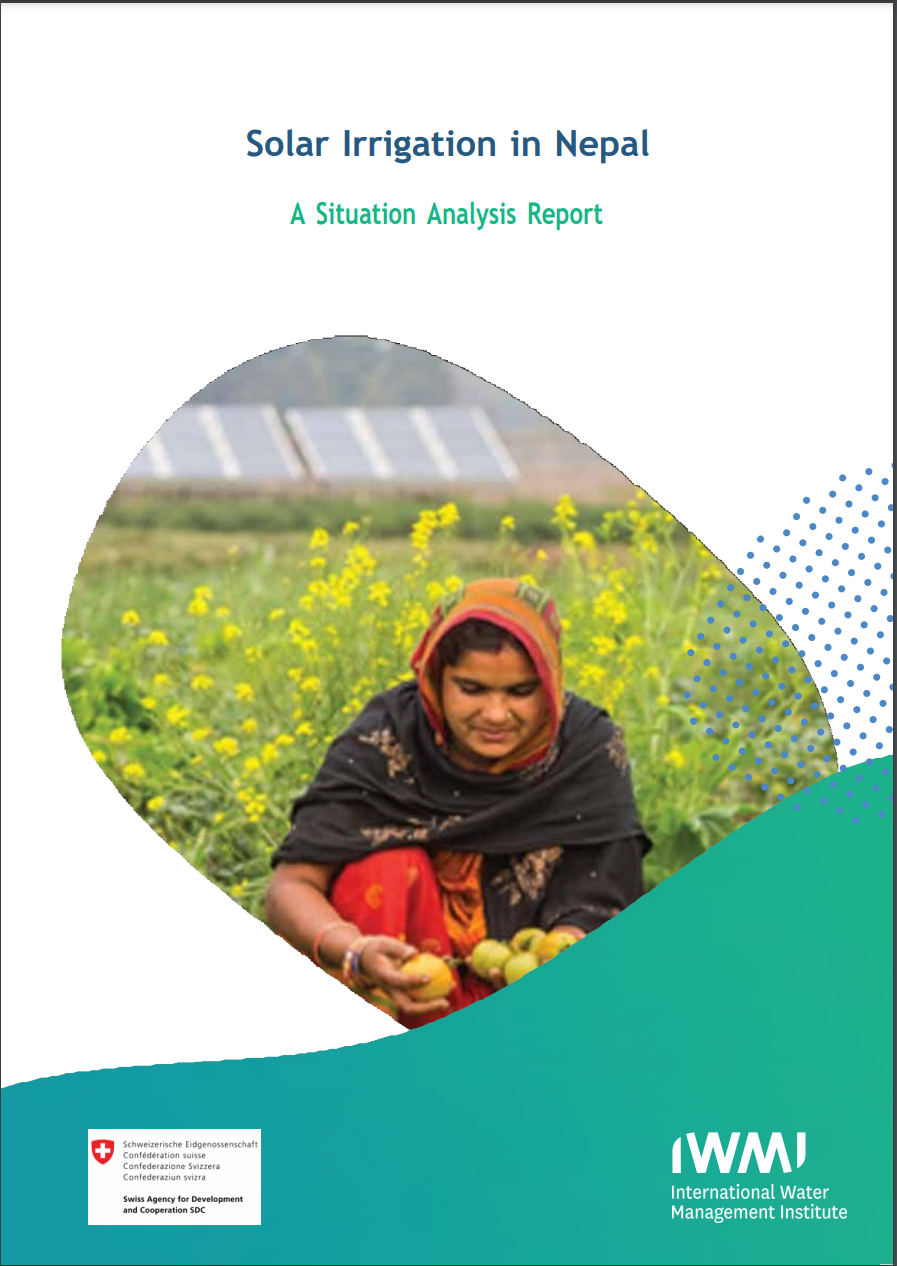
This project seeks to understand the impact solar irrigation systems are having on depleting groundwater resources in Nepal’s southern plain - northern flank of Ganges River Basin. The goal, to determine if groundwater can be reliably monitored through remote sensing satellite systems. With better year round data monitoring from multiple sources, including Earth Observation satellites, there is the opportunity to understand the complete groundwater cycle - including rate of depletion from both natural and human stressors. Understanding this cycle is important for monitoring sustainable usage of groundwater as the installation of solar irrigation systems become more readily available and used more widely across the region to buffer against erratic rainfall patterns. . If a remote monitoring system can be shown to be a reliable source of measuring groundwater, development of a public policy around governance of groundwater can be enacted - such as enhancing water use efficiency through metering the irrigation water crop planning. This is important to sustain this vital resources for now and future use.
Leveraging 3-years of existing research and groundwater measurements, the teams in this track will use the 20-hours during the hackathon to identify initial correlations between traditional groundwater measurements and space-based observations. With an eye to turn data into action, students will also explore the initial ideation of turning consistent monitoring into public policy for sustainable usage of groundwater resources.
Can we accurately correlate satellite observations with camera measurements of ground water to monitor rate of depletion?
Can that correlative algorithm be applied to other regions reliably without the need for ground monitoring?
Is it possible to develop data driven groundwater governance policy to ensure its sustainability?
Problem Statements
Download Groundwater Measurement Data
Location of Camera: 27°40'30.0"N 84°15'40.0"E
Understanding the Problem: Background Resources
Groundwater Track Resources
Below is a list of resources and data sets that are applicable to the Groundwater Track and are a helpful to get started.
(Thanks to the Awesome GEE Community Catalog for these data sets!)
Global River Width from Landsat (GRWL)
NASA Harvest Layers
Global irrigation areas (2001 to 2015)
Global river networks & Corresponding Water resources zones
HiHydroSoil v2.0 Layers
HydroATLAS v1.0
Samapriya Roy, Erin Trochim, Valerie Pasquarella, Édith Darin, & Tyson Swetnam. (2023). samapriya/awesome-gee-community-datasets: Community Catalog (1.0.5). Zenodo. https://doi.org/10.5281/zenodo.7712869


