
Oceanic Heating and Algal Blooms:
Impacts on the Ecuadorian Coast
Using space to better understand dynamic weather shifts and their impact on two critical Ecuadorian coastal ecosystems.
Welcome
Can we use satellite data to trace the worsening impacts of climate patterns - like El Nino and La Nina - and their connection to harmful algal blooms?
Can we show a link between worsening climate patterns and impacts on the local economies in Ecuador? What is changing? What is improving? What is worsening?
Can we use satellite data to better understand the impacts to biodiversity from worsening ENSO conditions and warming water temperatures?
In 2013 the UN Intergovernmental Panel on Climate Change ranked the city of Guayaquil among the 10 cities most at risk from rising sea levels. Since then, the city has made a Disaster Risk Reduction (DRR) Plan for sustainable and resilient city practices. Based on the analysis conducted can you recommend adaptations or additions to the DRR plan?
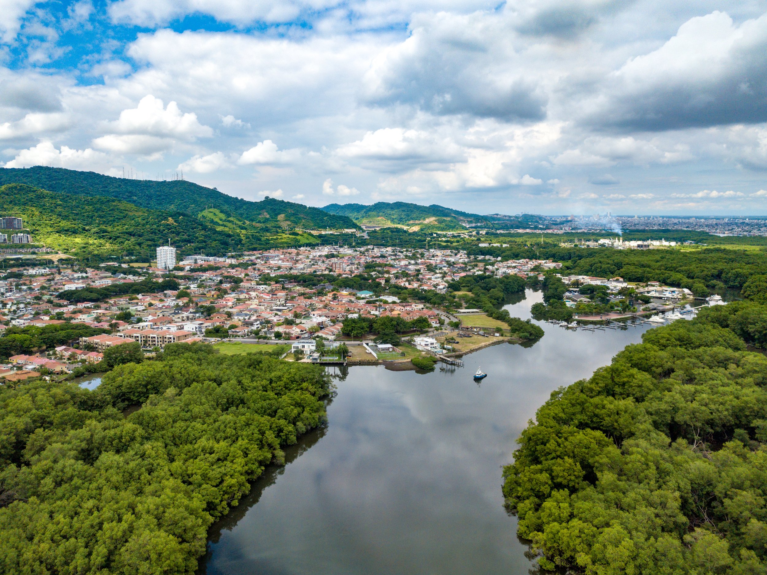
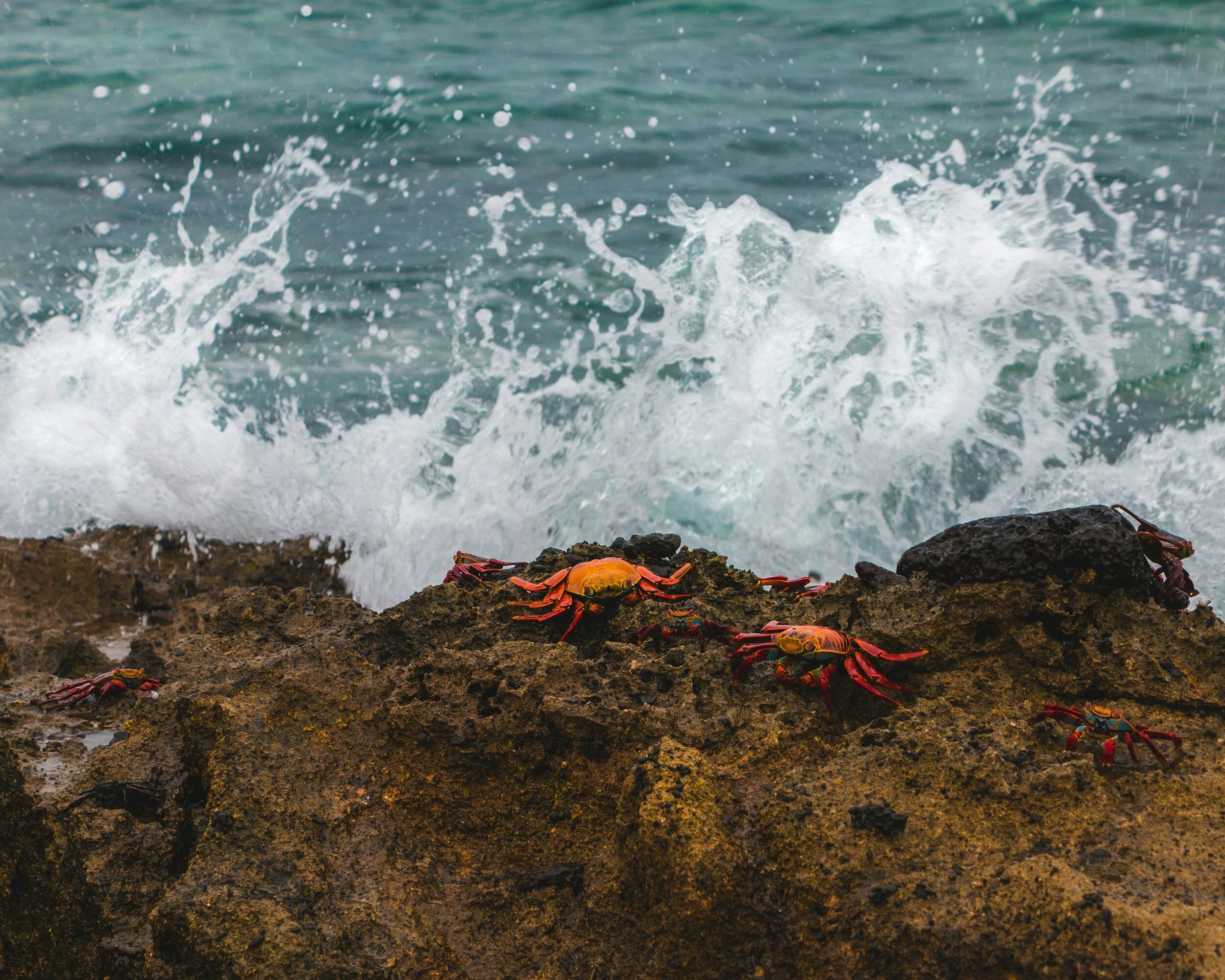
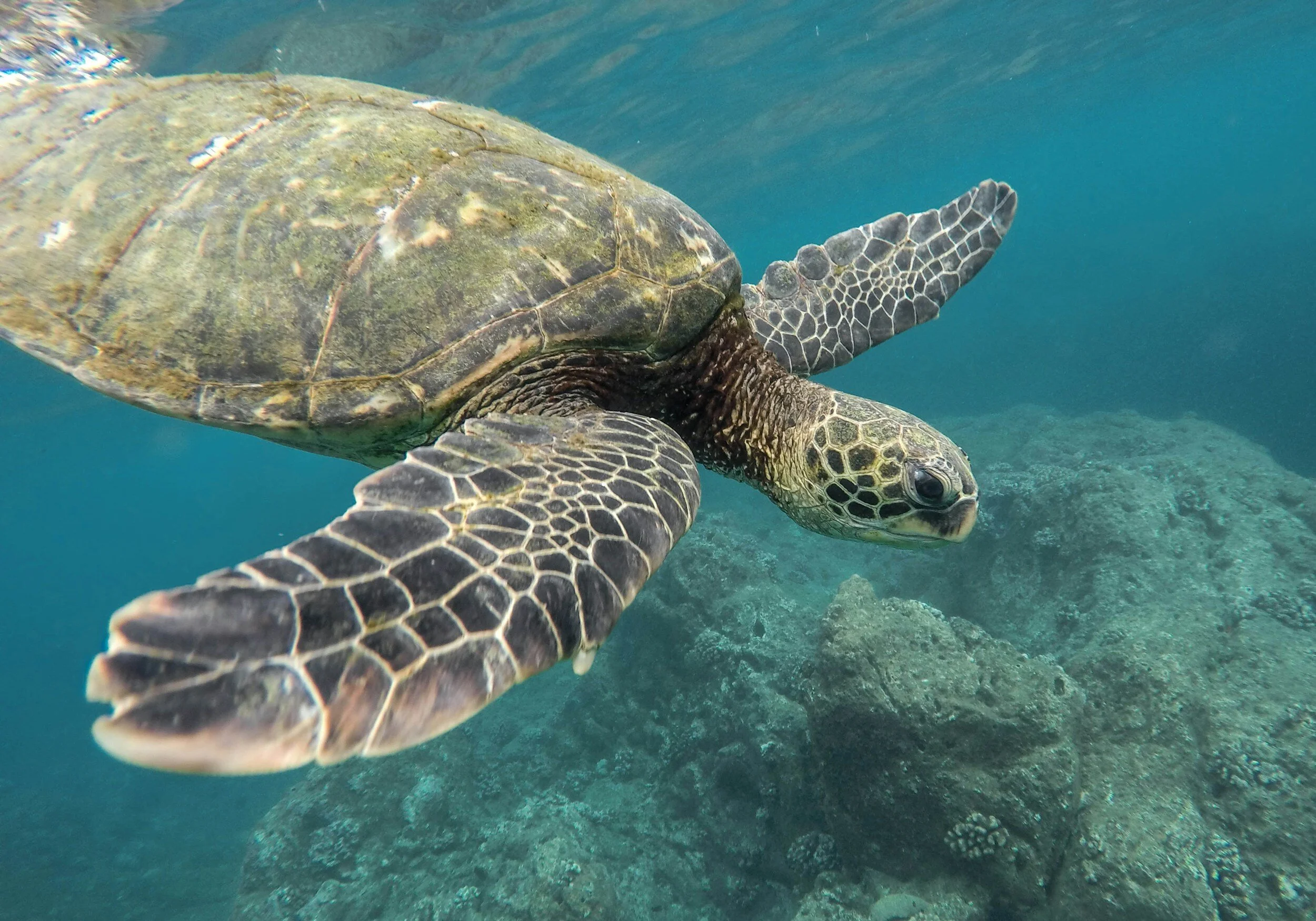
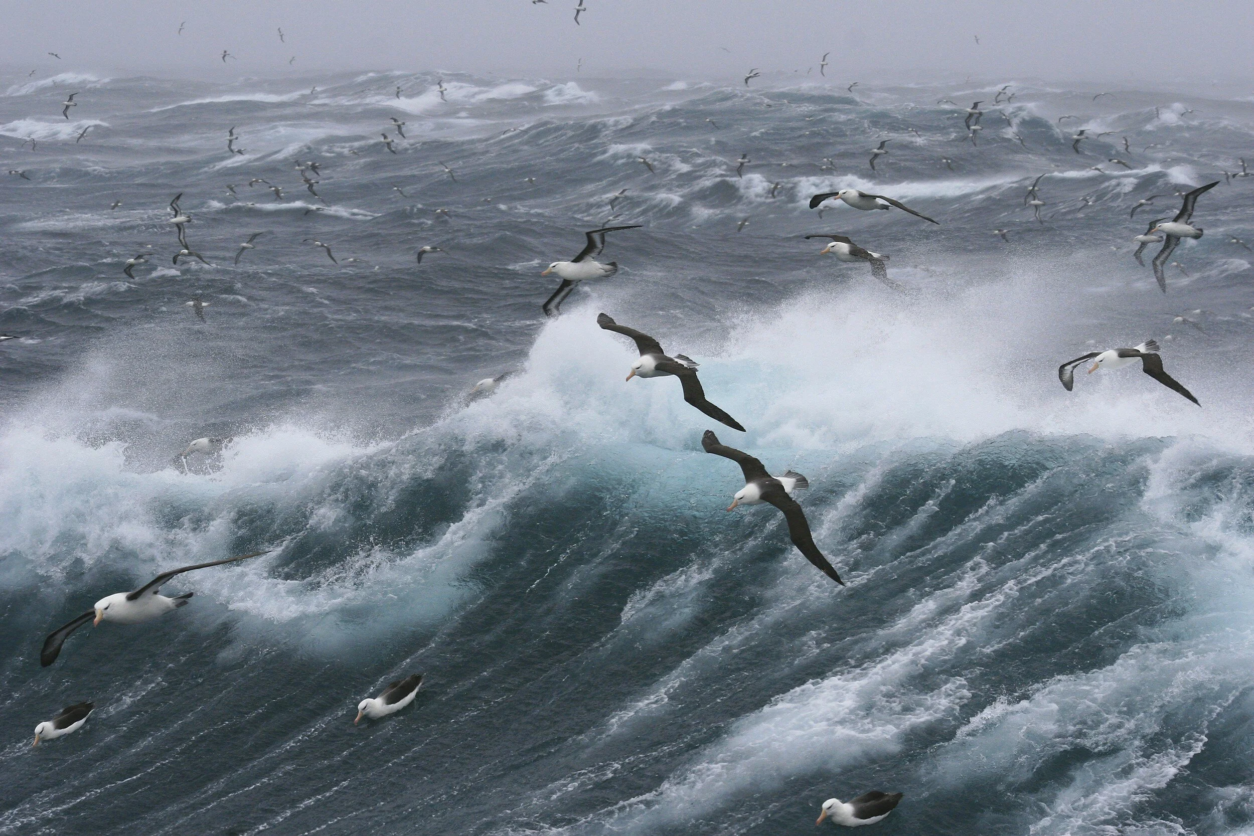
Just off the coast of Ecuador in South America are two complex coastal ecosystems, rich in diversity with unique habitats to support an array of different species. These two places - the Gulf of Guayaquil and the Galapagos Islands - each provide a source of livelihood and way out of poverty for many Ecuadorians, but for two very different reasons. The Galapagos Islands are an ecotourism hub - accounting for about 80% of Galapagos economy, serving as Ecuador’s largest service export. In contrast, the Gulf of Guayaquil is the largest estuary ecosystem on the South American Pacific coast, supporting a wide array of species because of the unique blend of nutrients from both freshwater rivers and the ocean. This also makes it one of the most productive fishing grounds on the coast - shrimp, tuna, sardines, anchovies - a critical economic and social asset for the country.
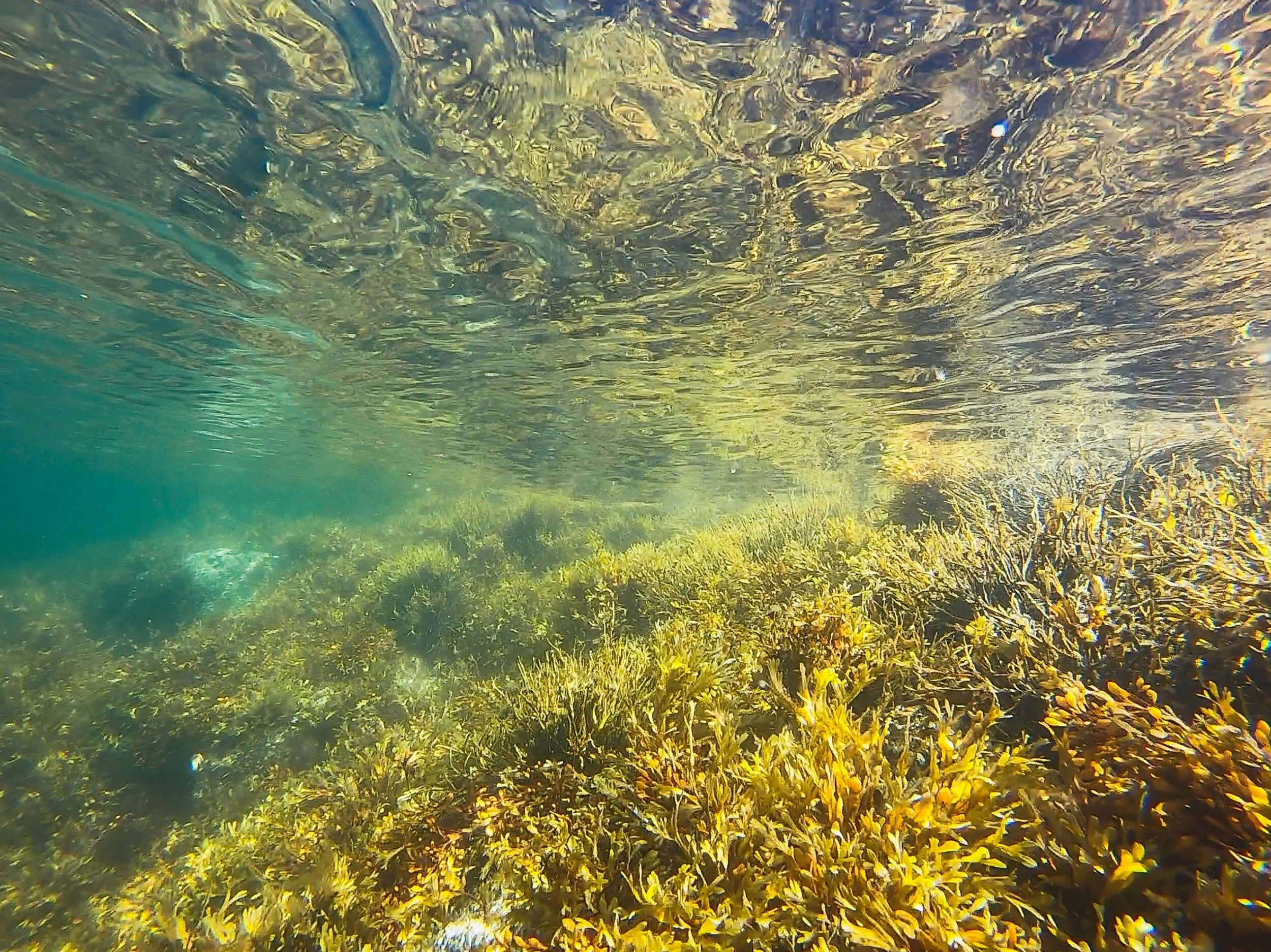
Recently, with more dynamic shifts in ocean warming and climate patterns, these rich and diverse coastal regions in Ecuador are facing a more consistent and emerging threat to the biodiversity in the region from events known as “red tides”. Red tides are a common term used for harmful algal blooms (HABs) - colonies of algae that grow out of control and produce toxic or harmful effects on people, fish, marine mammals, and birds. In addition to HABs being linked to warmer and calmer water conditions, these occurrences are worsened by the effects of a climate pattern called El Niño-Southern Oscillation (ENSO). ENSO is made of three phases - El Niño, La Niña, and Neutral events - and while ENSO is naturally occurring, global warming has made the extreme ends of these phases stronger and more frequent over the past 50 years. This is having devastating impacts on the ecosystem health in the regions off the coast and these impacts are felt by the citizens of Ecuador whose lives rely on these rich coastal assets.
This project seeks to better understand the complex connectivity between ocean warming trends, climate variability patterns including the El Nino Southern Oscillation (ENSO), ecosystem health, and livelihood of the local communities who rely on these ecosystems. Leveraging recent satellite imagery and focusing on the coastal region of Ecuador we can better understand the widespread impact on climate change factors in this region.
Problem Statements
Understanding the Problem: Background Resources
Ocean Health Track Resources
Below is a list of resources and data sets that are applicable this tracks and are a helpful way to get started.
(Resources for additional datasets: Earth Engine Data Catalogue & Awesome GEE Community Catalog)
GSMaP is a product of the Global Precipitation Measurement (GPM) mission, which provides global precipitation observations at three hour intervals.
The NOAA 1/4 degree daily Optimum Interpolation Sea Surface Temperature (OISST) provides complete ocean temperature fields constructed by combining bias-adjusted observations from different platforms (satellite, ships, buoys) on a regular global grid, with gaps filled in by interpolation.
Global Change Observation Monitoring (GCOM). This product is the temperature of sea surface. This is an ongoing dataset with a latency of 3-4 days. GCOM-C conducts long-term and continuous global observation and data collection
The Hybrid Coordinate Ocean Model (HyCOM) is an open-source ocean general circulation modeling system. HyCOM model experiments are used to study the interactions between the ocean and atmosphere, including short-term and long-term processes.
The MODIS Aqua instrument provides quantitative data on global ocean bio-optical properties to examine oceanic factors that affect global change and to assess the oceans' role in the global carbon cycle, as well as other biogeochemical cycles. Subtle changes in chlorophyll-a signify various types and quantities of marine phytoplankton (microscopic marine plants), the knowledge of which has both scientific and practical applications
The Terra Moderate Resolution Imaging Spectroradiometer (MODIS) Land Surface Temperature/Emissivity Daily (MOD11A1) Version 6.1 product provides daily per-pixel Land Surface Temperature and Emissivity (LST&E) with 1 kilometer (km) spatial resolution in a 1,200 by 1,200 km grid.
The Allen Coral Atlas maps the world’s coral reefs and monitors their threats to provide actionable data and a shared understanding of coastal ecosystems. (Website: https://allencoralatlas.org/)
Global Fishing Watch’s open-access technology products, datasets, and code accelerate research and innovation and support sustainable ocean management.(Website: https://globalfishingwatch.org/our-technology/)
The Relative Wealth Index predicts the relative standard of living within countries using de-identified connectivity data, satellite imagery and other nontraditional data sources. (Website: https://dataforgood.facebook.com/dfg/tools/relative-wealth-index)
Samapriya Roy, Erin Trochim, Valerie Pasquarella, Édith Darin, & Tyson Swetnam. (2023). samapriya/awesome-gee-community-datasets: Community Catalog (1.0.5). Zenodo. https://doi.org/10.5281/zenodo.7712869