
Tracking Invisibility:
How telecommunications changes cities
Telecommunications are a key part of human life and the associated infrastructure impacts urban development.
Why aren’t we talking about it?
Welcome
Can we use satellite data to trace and track the growth of telecommunication infrastructure in large Canadian cities over the past 20 years? And how much of this infrastructure is in fact space-based itself?
Did this growth impact the development of the city over the same time period? Was there a noticeable change in urban sprawl, economic growth, or gentrification associated with the development of infrastructure?
Can satellite data track the implementation of the Smart City development awarded from the Government of Canada to:
Bridgewater, Nova Scotia
Nunavut Communities
City of Guelph and Wellington County, Ontario
City of Montreal, Quebec
Would there be a case for or against making infrastructure development decisions and associated data more visible? How can Smart Cities benefit populations in concrete ways? Would you recommend changes to the second round of the Smart Cities challenge in Canada?
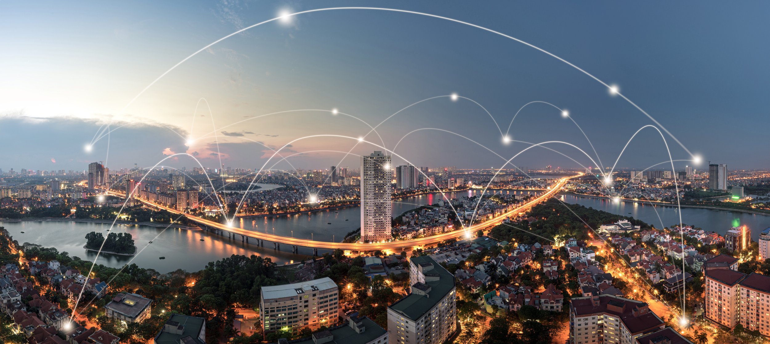
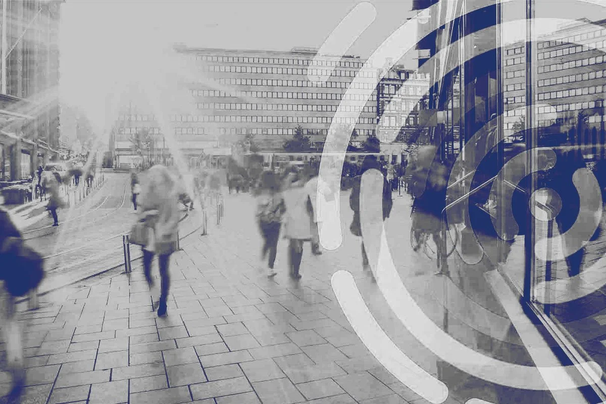
Telecommunications have become an integral part of human life - from reliable cell phone connections, data transmissions at home or on the go, and high-speed internet for connectivity around the world - we have become reliant on always-on, but seamlessly invisible, communication pathways for our day-to-day lives. But the infrastructure to make these connections so commonplace is actually quite complex. From network backbones that support the connections to the consumers, to data centers, routers, switches, cell towers, and satellites there is a lot that goes into making it all work, and it has a cost to our communities, land, and ecosystems as built. Good and reliable telecommunications infrastructure is heavily influential on city development, but urban developers go through great lengths to make these infrastructure needs invisible (think about the classic example of the cell tower disguised as a tree). In trying too hard to blend in, more often than not the presence is taken for granted and displaces the need for key discourse, decisions, and understanding impacts on communities. This includes our reliance on non-Earth based telecommunication systems - it’s so commonplace, you may not even realize how often you interact with space technology on the daily!
Improved communications can be a catalyst for urban sprawl and gentrification - enabling people to live and work further from city centers. For some, this offers access and freedom, for others, often the already marginalized, it is creating a bigger and bigger digital divide and disconnect between backgrounds and communities. Urban sprawl is also having lasting impacts on the ecology, land utilization, and biodiversity as human impacts continue to expand beyond concentrated city hubs.
In an effort to bring to light the impact technology and communications have on human development, the rise of a an interest in “smart cities” - a technologically modern urban area that is built specifically to integrate advanced communication technology, physical structures, human data, emerging sensor technology, and internet of things (IOT) to optimize city functions and promote economic growth - has grown over the last decade. So much so that the Government of Canada created a “Smart Cities Challenge” in 2017 and awarded 4 winners prizes worth a total of $75M to implement their visions. In 2023, the Canadian federal budget allocated funds for a second round of the “Smart Cities Challenge”, but it begs questions as to the impact and implications of smart city development.
This track will use satellite data to explore complex telecommunication and technology infrastructures, city developments in the rise of technology, and track impacts these have on urban and rural communities. The project will focus first on the 4 cities who received awards from the Canadian challenge. We will explore the impact of emerging smart cities. If we are transparent and purposeful about the impacts and development of smart cities, can we use it to bring communities closer together instead of widening the digital divide? And what decisions and data should be available and shared in order to ensure equitable access to reliable telecommunications that is rapidly becoming a basic human need?
Problem Statements
Understanding the Problem: Background Resources


Smart Cities Track Resources
Below is a list of resources and data sets that are applicable this tracks and are a helpful way to get started.
(Resources for additional datasets: Earth Engine Data Catalogue & Awesome GEE Community Catalog)
Data on the extent, patterns, and trends of human land use are critically important to support global and national priorities for conservation and sustainable development. Includes designation of up to 14 stressors across the years: 1990, 1995, 2000, 2005, 2010, 2015, and 2017. Stressors include: built-up areas (BU), agricultural/timber harvest (AG), extractive energy and mining (EX), human intrusions (HI), natural system modifications (NS), and transportation & infrastructure (TI)
Global spatial data and evidence-based analytics, offering insights into the distribution and characteristics of human presence on Earth
Global daily measurements of nocturnal visible and near infrared (NIR) lights. Used for estimating population, assessing electrification of remote areas, monitoring disasters, and tracking light pollution and its impact on biology.
Rapid, large-scale detection of human settlements from high resolution imagery resulting in improved resolution population distribution. Global population dataset used for human dynamics and distribution modeling.
Geospatial data on the location of Critical Infrastructure (CI). For the development of this index, we selected 39 CI types and categorized them under seven overarching CI systems: transportation, energy, telecommunication, waste, water, education and health. (Paper: A spatially-explicit harmonized global dataset of critical infrastructure)
Visual imagery of city development
The Social Connectedness Index measures the strength of connectedness between two geographic areas as represented by Facebook friendship ties. These connections can reveal important insights about economic opportunities, social mobility, trade and more.
Dataset developed from global speedtest data used today by commercial fixed and mobile network operators around the world to inform network buildout, improve global Internet quality, and increase Internet accessibility
Samapriya Roy, Erin Trochim, Valerie Pasquarella, Édith Darin, & Tyson Swetnam. (2023). samapriya/awesome-gee-community-datasets: Community Catalog (1.0.5). Zenodo. https://doi.org/10.5281/zenodo.7712869
The Biodiversity Intactness Index (BII) measures biodiversity change using abundance data on plants, fungi and animals worldwide. The Index shows how local terrestrial biodiversity responds to human pressures such as land use change and intensification