

Wildfire Risk and Social Disparity at the Wildland Urban Interface
Monitoring wildfires from space to help us to understand climate change inequities and social disparity on Earth.
Welcome
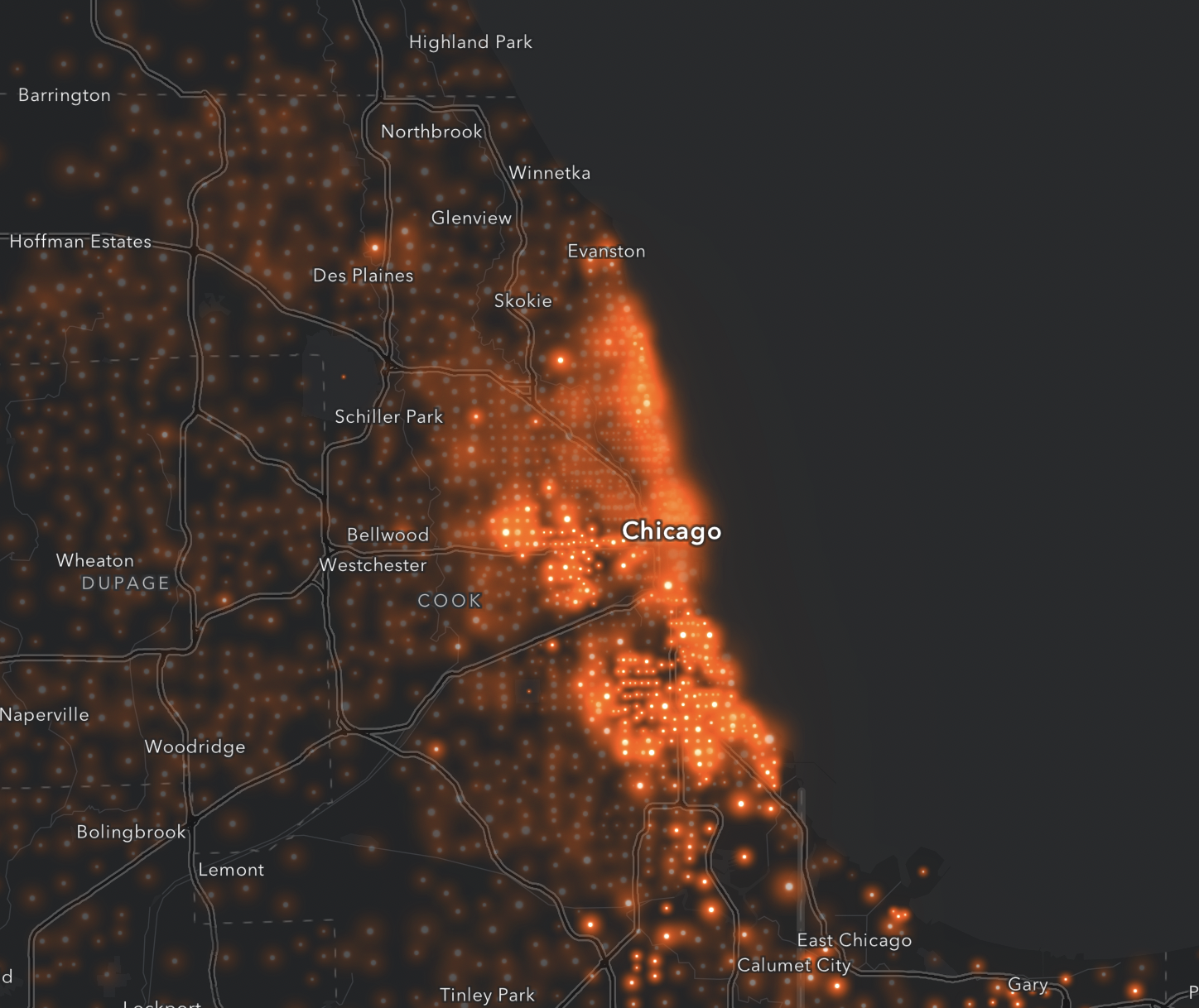
Wildfires are an escalating crisis on a global scale - both affected by and affecting climate change. According to a UNEP report, the global increase of extreme fires will continue to escalate - projected to be up 14% by 2030 and 30% by the end of 2050. Megafires occur on every continent except Antarctica, and year-over-year are impacting areas previously unaffected by fires - including rainforests, permafrost, and peatland swamps. With an estimated 1.5M sq miles of Earth's land affected by fire each year, the growing intensity of wildfires increases risk to loss of life and loss of property, particularly at a region known as the Wildland Urban Interface (WUI) - the zone of transition between wilderness and land developed by human activity.
This project seeks to hone in on the WUI region to better understand risks of how wildfire hazard is distributed across income levels globally. By leveraging satellite data from pre, active, and post-fire conditions focused on the WUI region, we can start to understand the growing negative impact on property and communities due to megafires. Correlation of this data with income and home valuation maps, there is the opportunity to understand if there is social disparity in the WUI region. The student teams will look at data from a variety of large fires over the past 5 years in different global regions most impacted by wildfire activity - Western US, Australia, Indonesia, Bolivia, Greece - to better understand this problem.
Is there a social equity disparity linked to wildfire risk at the WUI region?
Are lower income families at a higher risk of property and loss of life due to the growing intensity of wildfires based on living conditions?
Does this trend track globally?
Problem Statements
Understanding the Problem: Background Resources


Wildfire Track Resources
Below is a list of resources and data sets that are applicable this tracks and are a helpful way to get started.
(Thanks to the Awesome GEE Community Catalog for these data sets!)
Global Forest Carbon Fluxes (2001-2021)
US National Forest Type and Groups
Global urban extents from 1870 to 2100
Digital Earth Australia(DEA) Landsat Land Cover
Landscape Fire and Resource Management Planning Tools
UrbanWatch 1m Land Cover & Land Use
Vegetation dryness for western USA
ETH Global Sentinel-2 10m Canopy Height (2020)
Rasterized building footprint dataset for the US
Land Change Monitoring, Assessment, and Projection
Archival NRT FIRMS Global VIIRS and MODIS vector data
Comprehensive inventory of all structures larger than 450 square feet for use in Flood Insurance Mitigation, Emergency Preparedness and Response
NAFD Forest Disturbance History 1986-2010
Global Wind Atlas Datasets
United States Drought Monitor
Global Fire Atlas (2003-2016)
Monitoring Trends in Burn Severity (MTBS) 1984-2019
30m Global Annual Burned Area Maps (GABAM)
RADD - RAdar for Detecting Deforestation - Near real-time disturbances in humid tropical forest based on Sentinel-1 at 10m spatial scale
Samapriya Roy, Erin Trochim, Valerie Pasquarella, Édith Darin, & Tyson Swetnam. (2023). samapriya/awesome-gee-community-datasets: Community Catalog (1.0.5). Zenodo. https://doi.org/10.5281/zenodo.7712869