
2026 Tracks
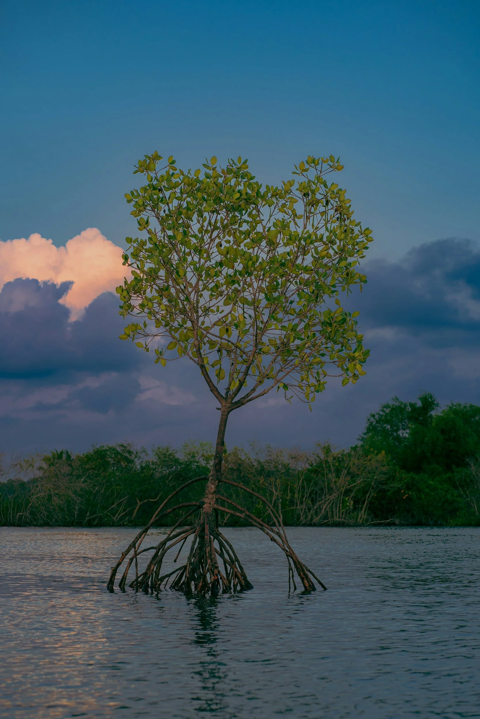
Mangroves can buffer tides, rainfall, and runoff, yet their role in urban flood management is often overlooked. This track uses satellite data to map, monitor, and strengthen mangrove-based protection around Greater Guayaquil.
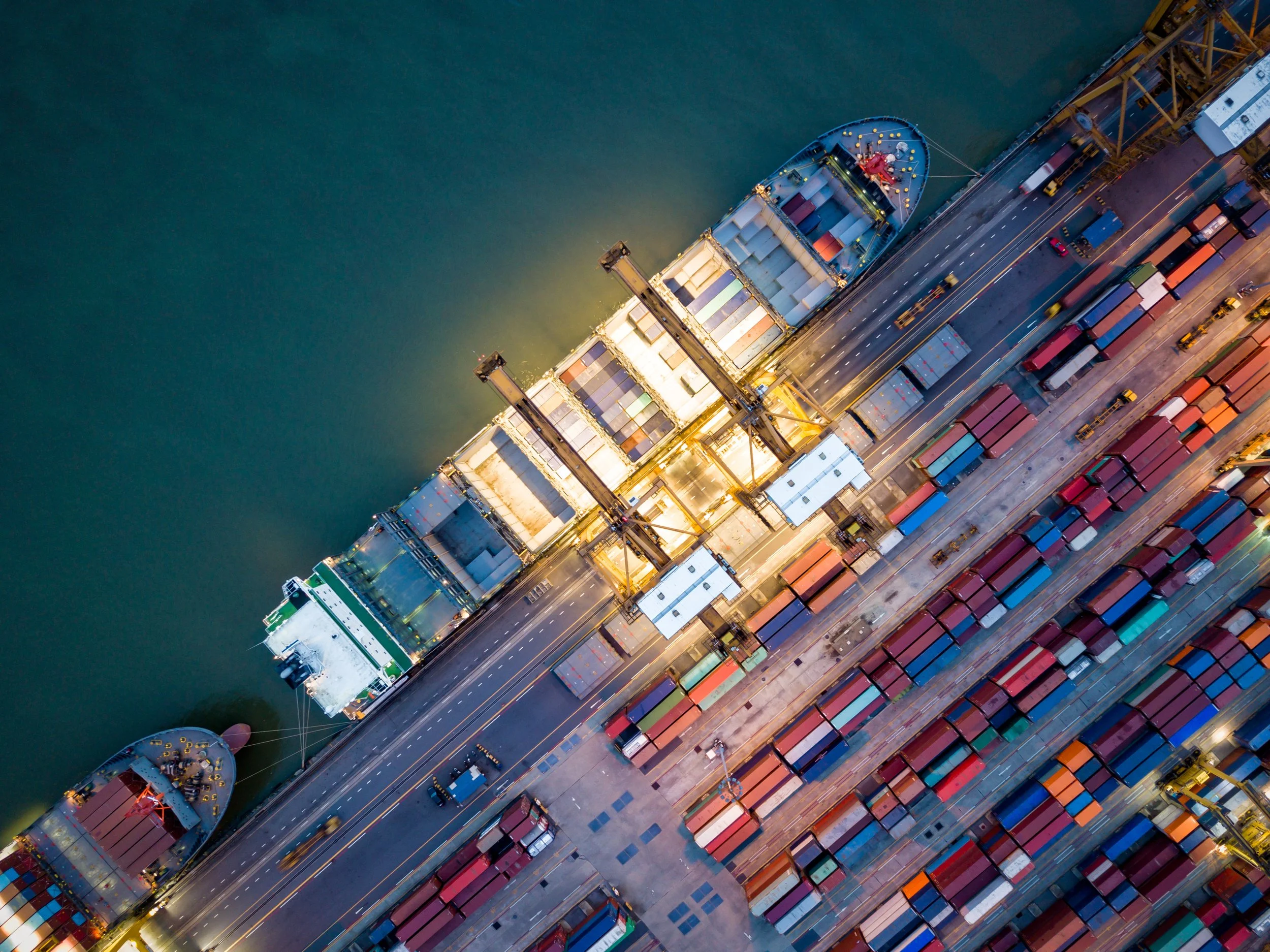
How can the maritime, port, trucking, and aviation sectors collaborate to achieve true decarbonization and create sustainable “green corridors” for global trade?
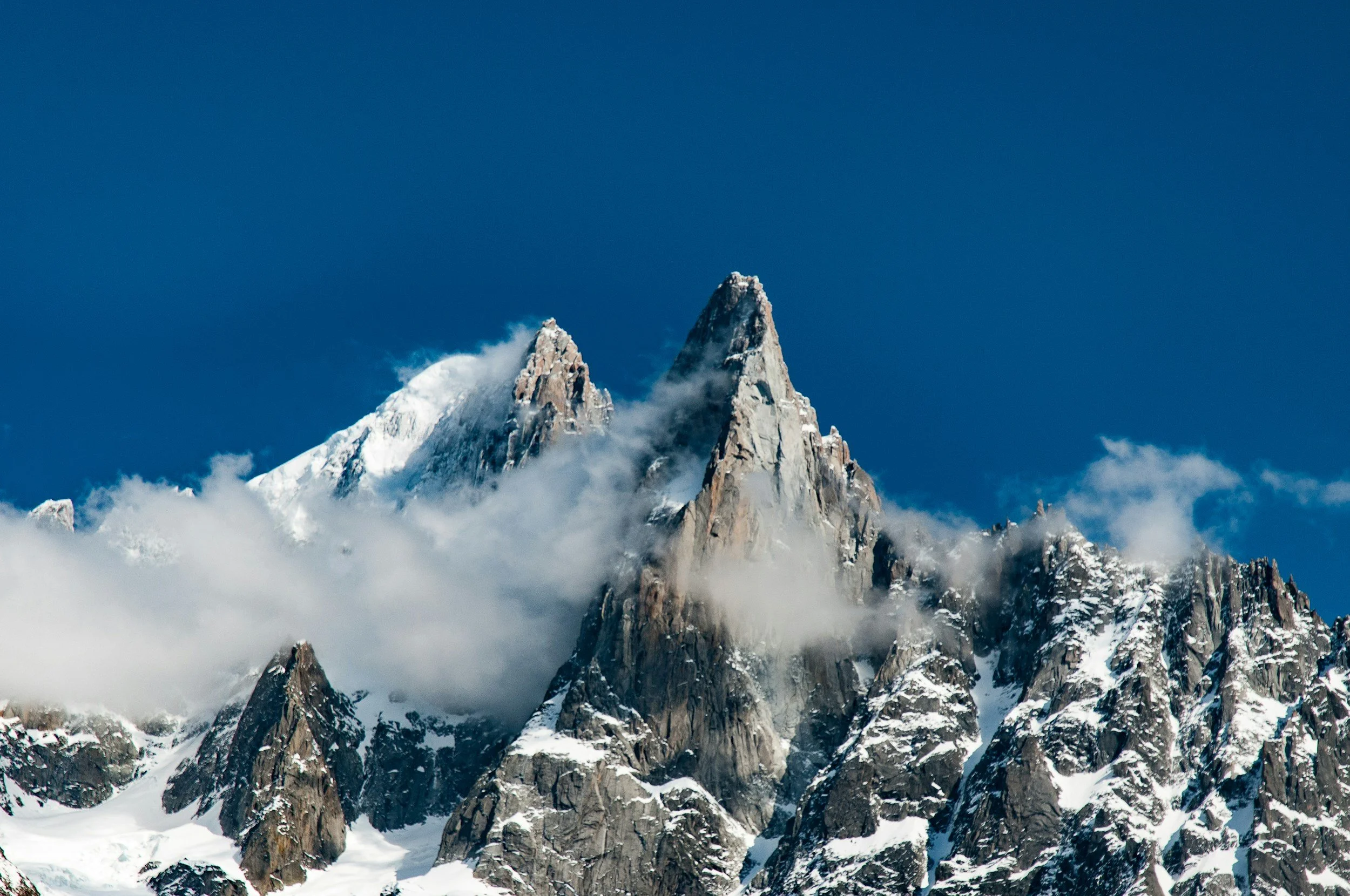
In the Alps, where climate change reshapes landscapes and lives, verified information must bridge science and society, counter disinformation, and tell evidence-based stories. How can satellite data help journalists produce narratives that make visible local impacts, strengthen public understanding, and support collective choices about adaptation, responsibility, and the future of mountain communities?
General Resources
Below is a list of resources and data sets that are applicable to all tracks and are a helpful way to get started.
High Resolution Population Density Maps from Humanitarian Data Exchange
LandScan Population Data
Harmonized Global Critical infrastructure & Index (CISI)
Global Land Use Land Cover from Sentinel-2
Human Global Settlement Extent
LandCoverNet is a global annual land cover classification training dataset
Harmonized Global Night Time Lights (1992-2020)
Global NPP-VIIRS-like nighttime light (2000-2020)
Global Consensus Landcover (Multi-sourced)
Long-term Land Surface Temperature Daily (2003-2020)
Global Daily near-surface air temperature (2003-2020)
Pre and post event high-resolution satellite imagery in support of emergency planning, risk assessment, monitoring